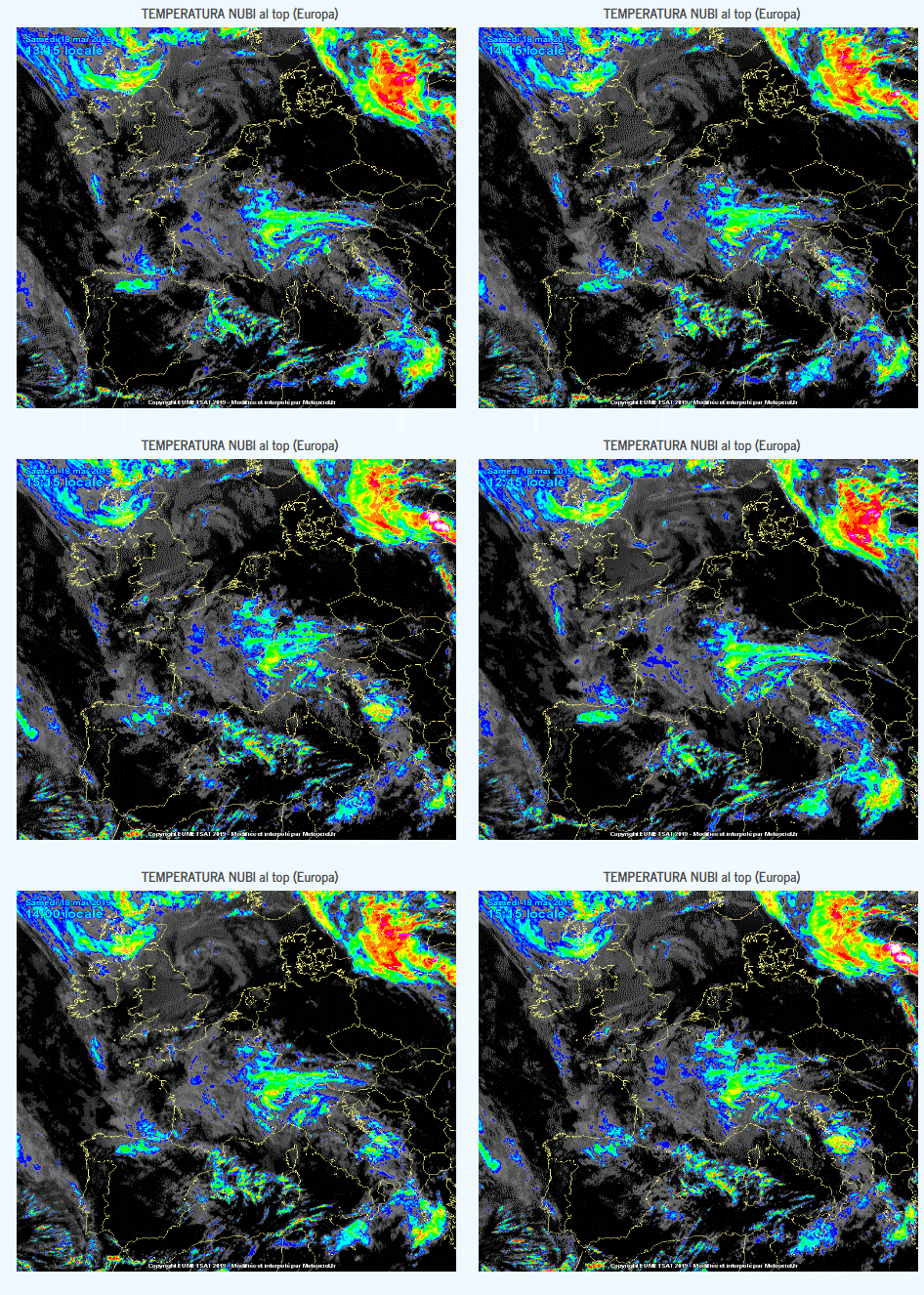
Nowcasting in meteorology uses surface weather station data, wind profiler data, and any other weather data available to initialize the current weather situation and forecast by extrapolation for a period of 0 to 6 hours. In this time range, it is possible to forecast small features such as individual storms with reasonable accuracy. Weather radar echoes and satellite data, giving cloud coverage, are particularly important in nowcasting because they are very detailed and pick out the size, shape, intensity, speed and direction of movement of individual features of weather on a continuous basis and a vastly better resolution than surface weather stations.
This used to be a simple extrapolation by a forecaster for the following few hours, but with the development of mesoscale numerical weather models, this information can be ingested into an expert system to produce a much better forecast combining numerical weather prediction and local effects not normally possible to be known beforehand. Different research groups, public and private, have developed such programs.
For instance, the French weather service, Météo-France, is using a software, named ASPIC to extrapolate to a fine scale the areas of precipitation. Other examples are AutoNowcaster which has been developed by UCAR to predict short term motion and evolution of thunderstorms, and private firms like ClimaCell using its proprietary HyperCast software for nowcasting precipitation type and intensity at 300-500 m geospatial resolution.


